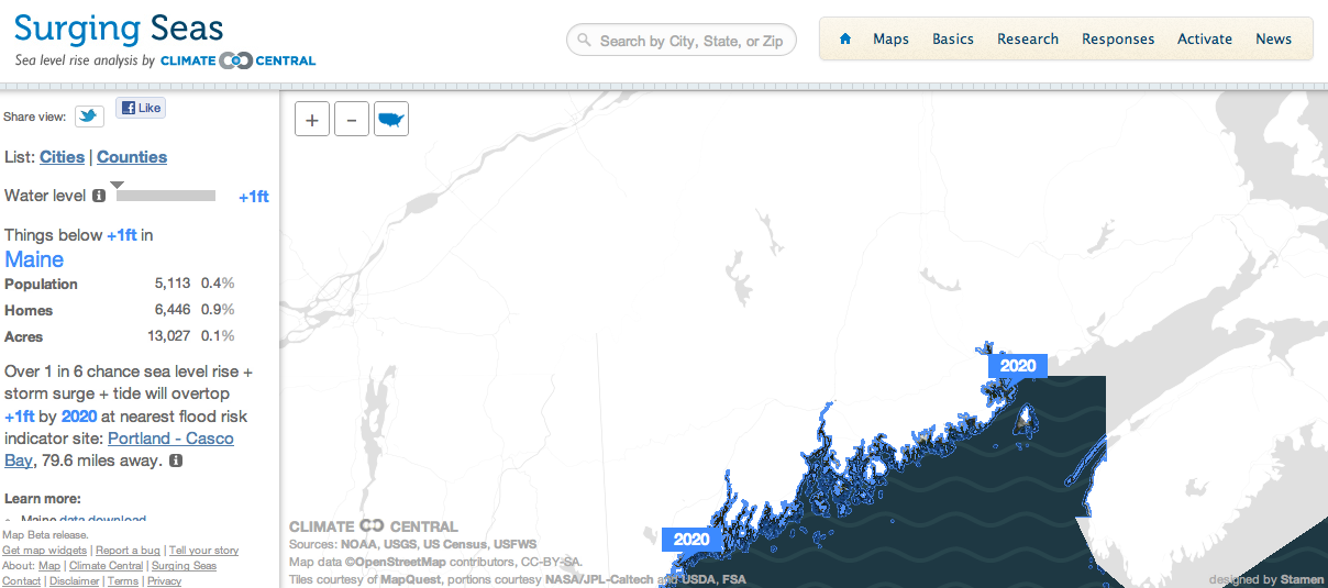
Surging Seas, produced by
ClimateCentral.org, is an interactive map of the potential impact on the United States of rising sea levels. The map allows you to click along coastal areas on the east coast and west coast to see how high the sea level could rise. The Surging Seas maps also project the number of people, homes, and land area that could be affected if the projections are correct.
Applications for EducationIf you're teaching lessons on climate change, particularly if you're teaching those lessons in US coastal area, the
Surging Seas interactive map could be a great way for students to see how climate change could affect them in the future.
H/T to Read Write Web.
0 comments:
Post a Comment